
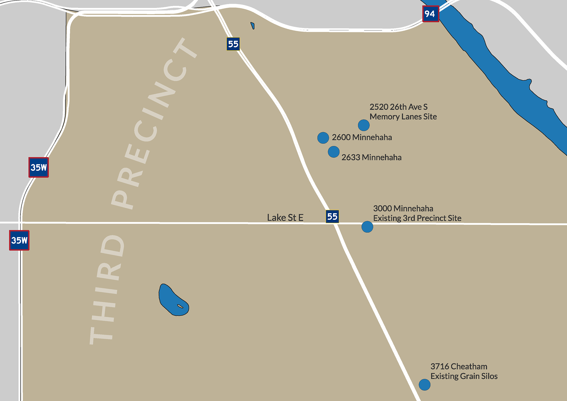
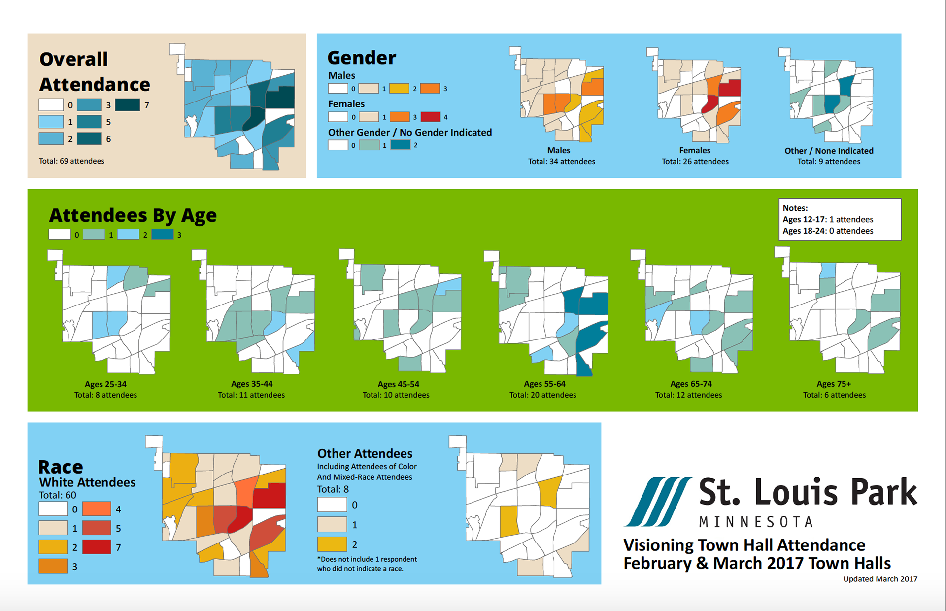
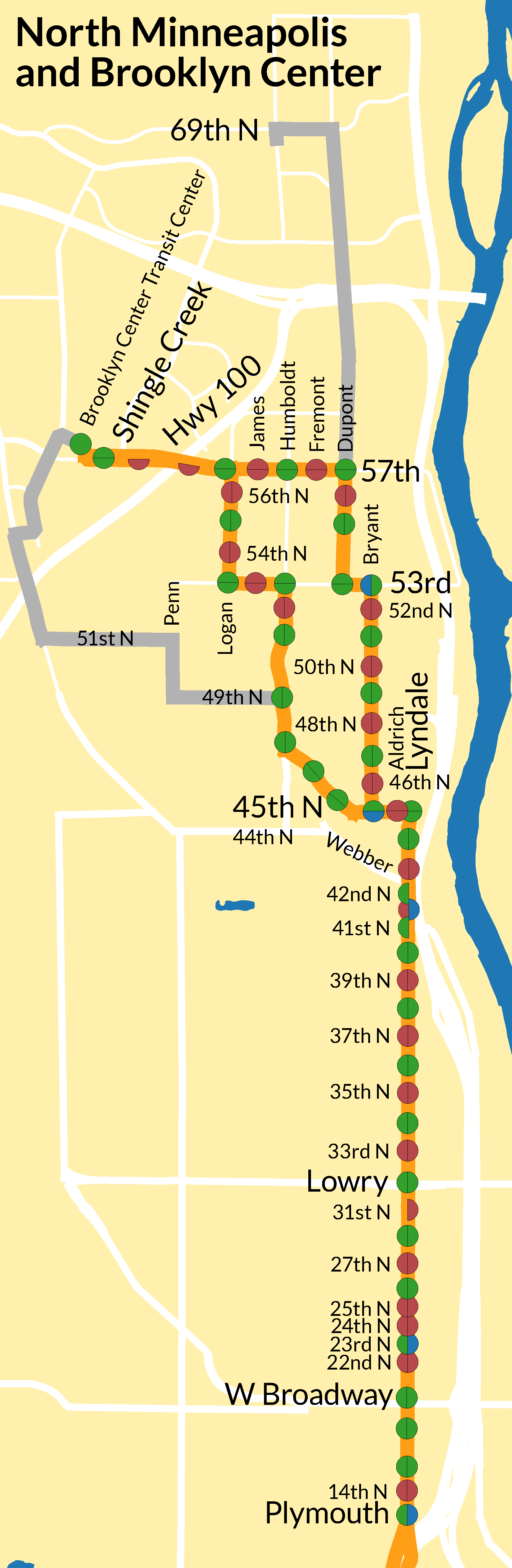
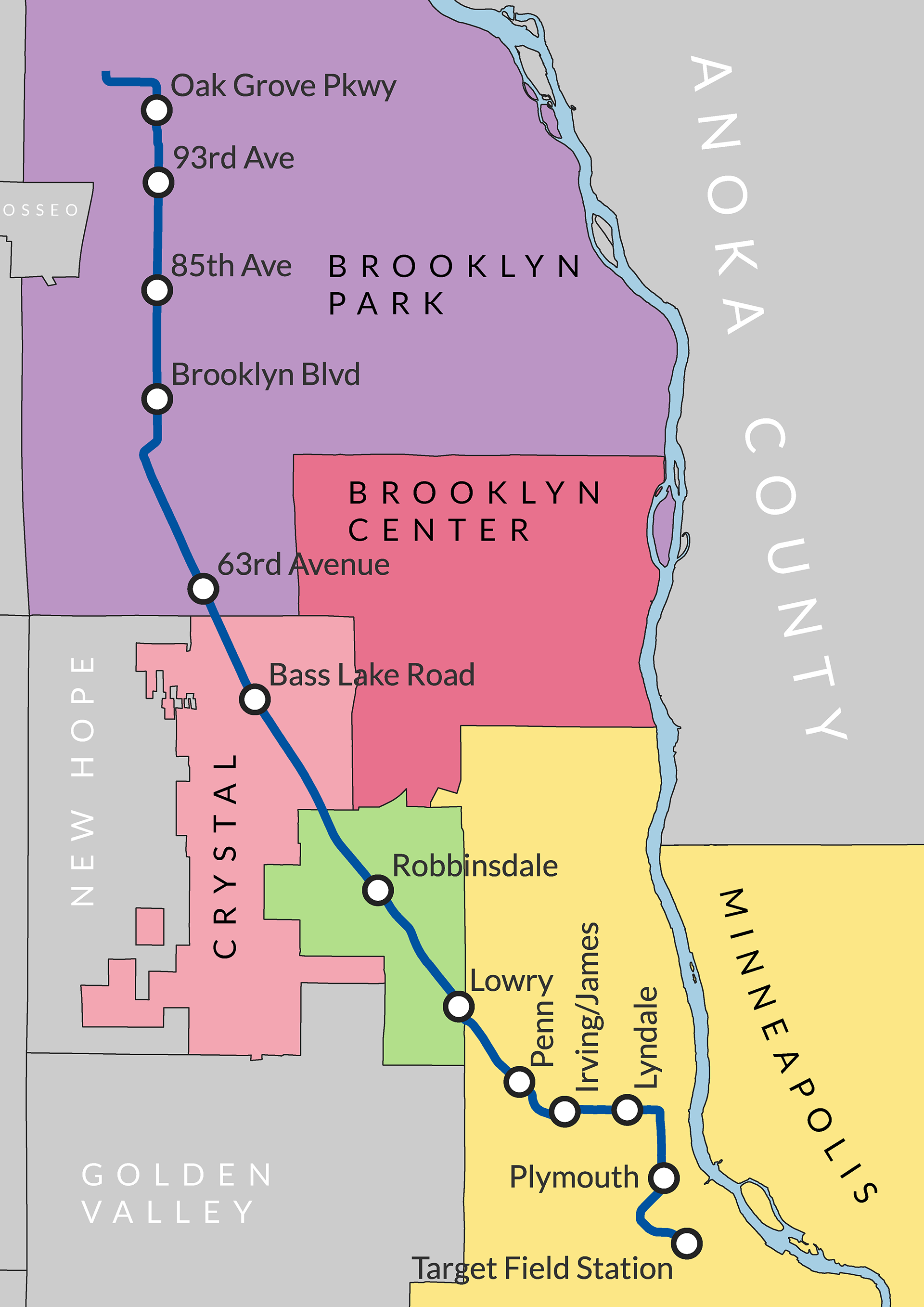
Mapmaking is a passion of mine. Growing up in a low-income, immigrant family in San Francisco, I remember being mesmerized by the colorful Muni maps that were at almost every bus stop. While looking at these maps, I often thought about going to different parts of the city using different routes, as well as how routes could change to better serve communities. These maps were everywhere because we took the bus everywhere, and taking the bus involves waiting at a bus stop.
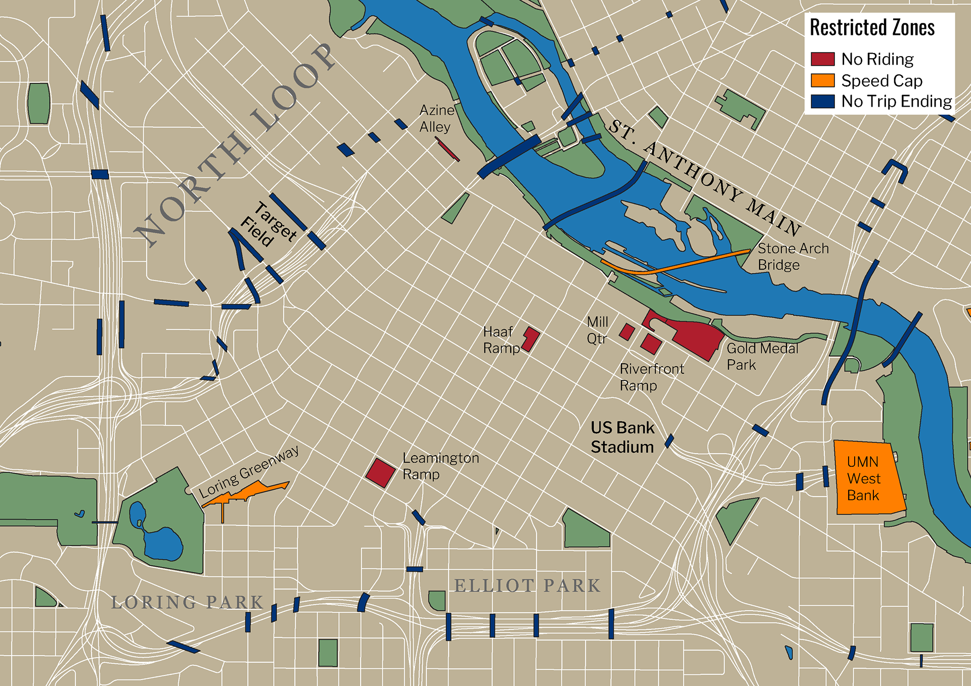
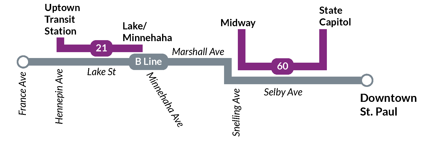
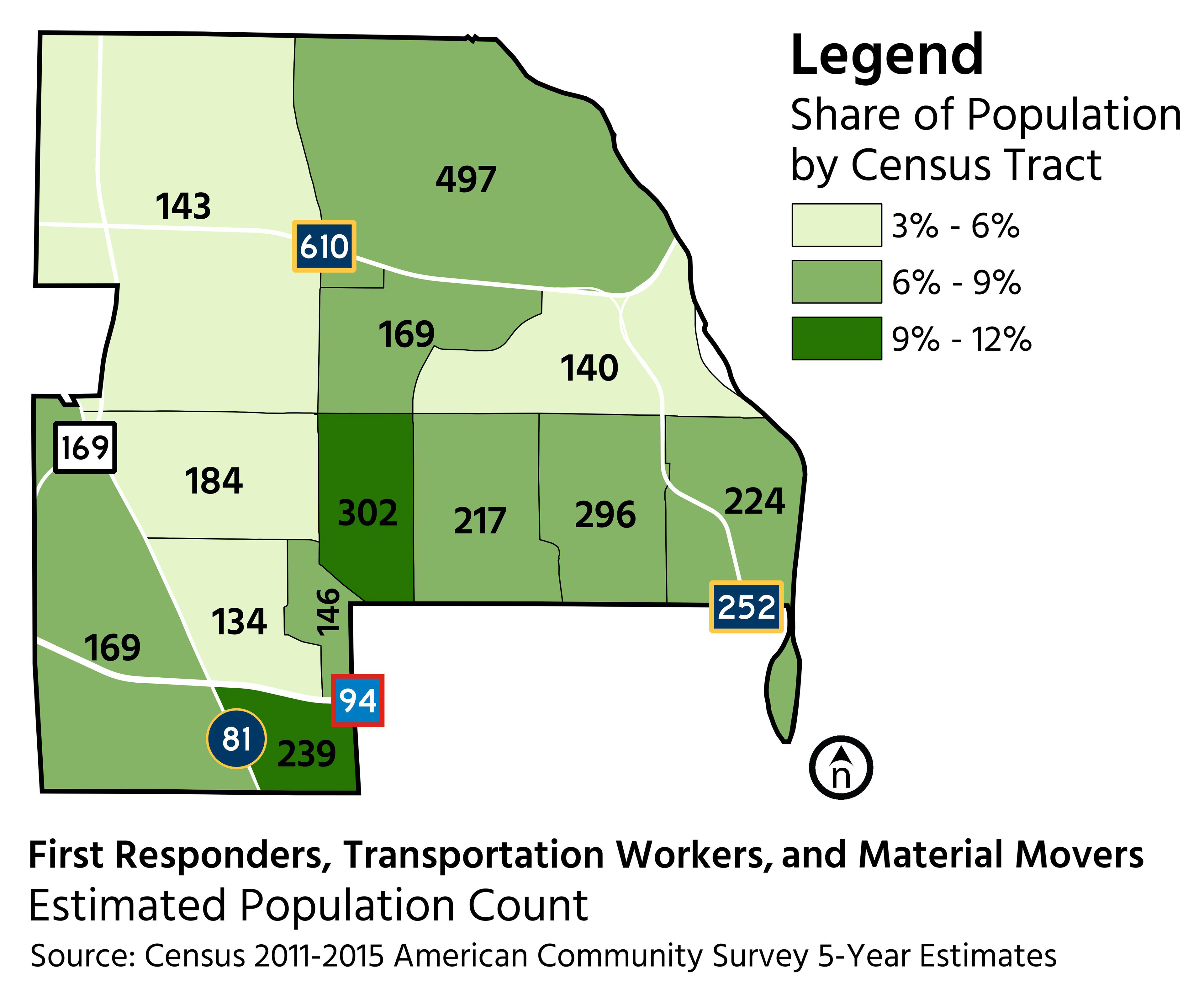
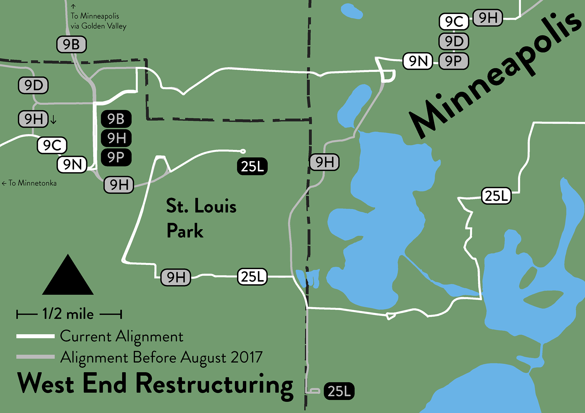
I didn't think it was possible to create maps that were as high-quality as the maps that I saw until I learned GIS (Geographic Information Systems). In 2014, I completed my Certificate in Geographic Information Systems from City College of San Francisco. I have over a decade of producing maps for government agencies, consultants, and nonprofits. Some of the maps that I have made include:
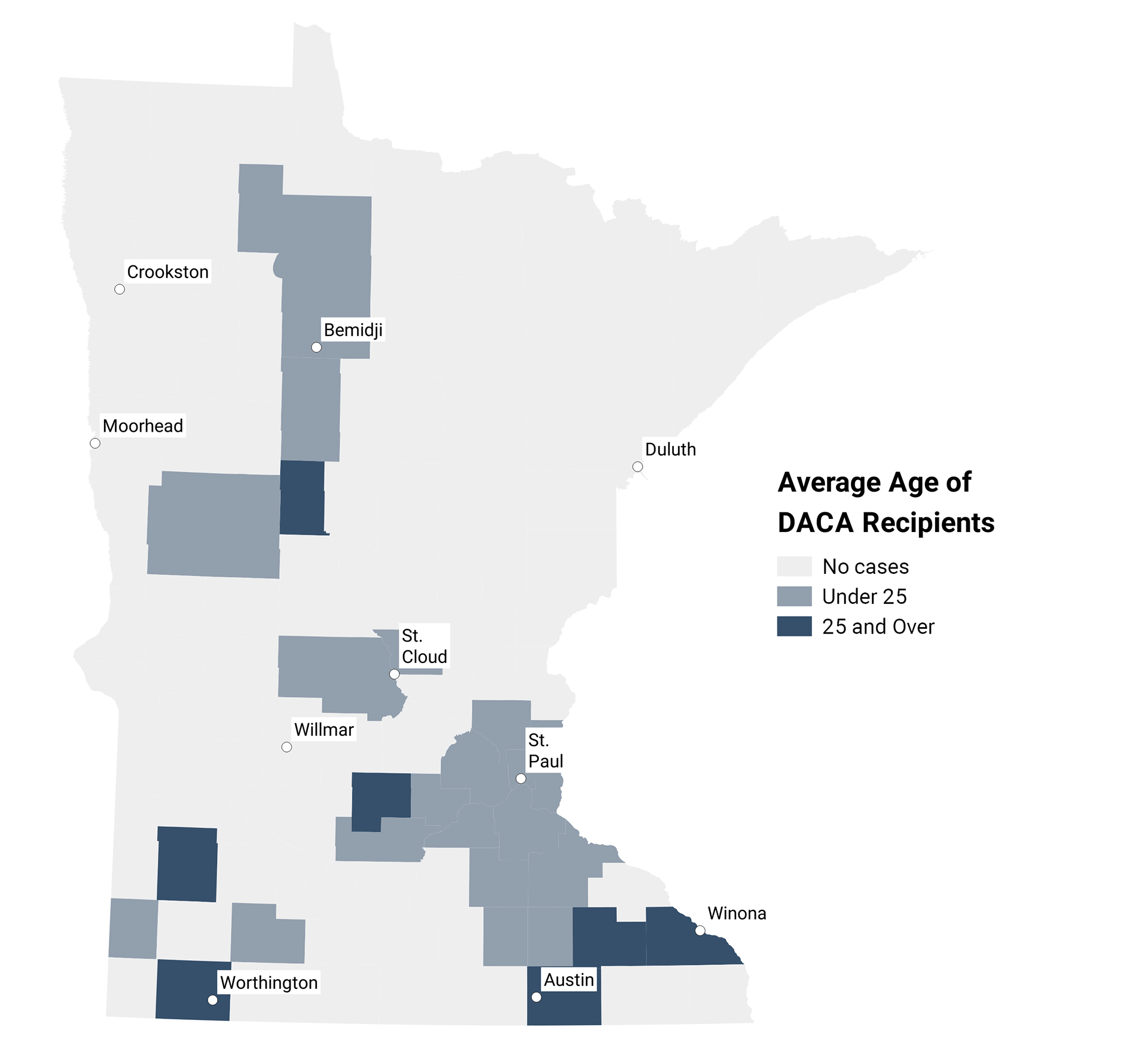
• (Lots of) choropleth maps (that visualize data over a certain geography)
• Census maps
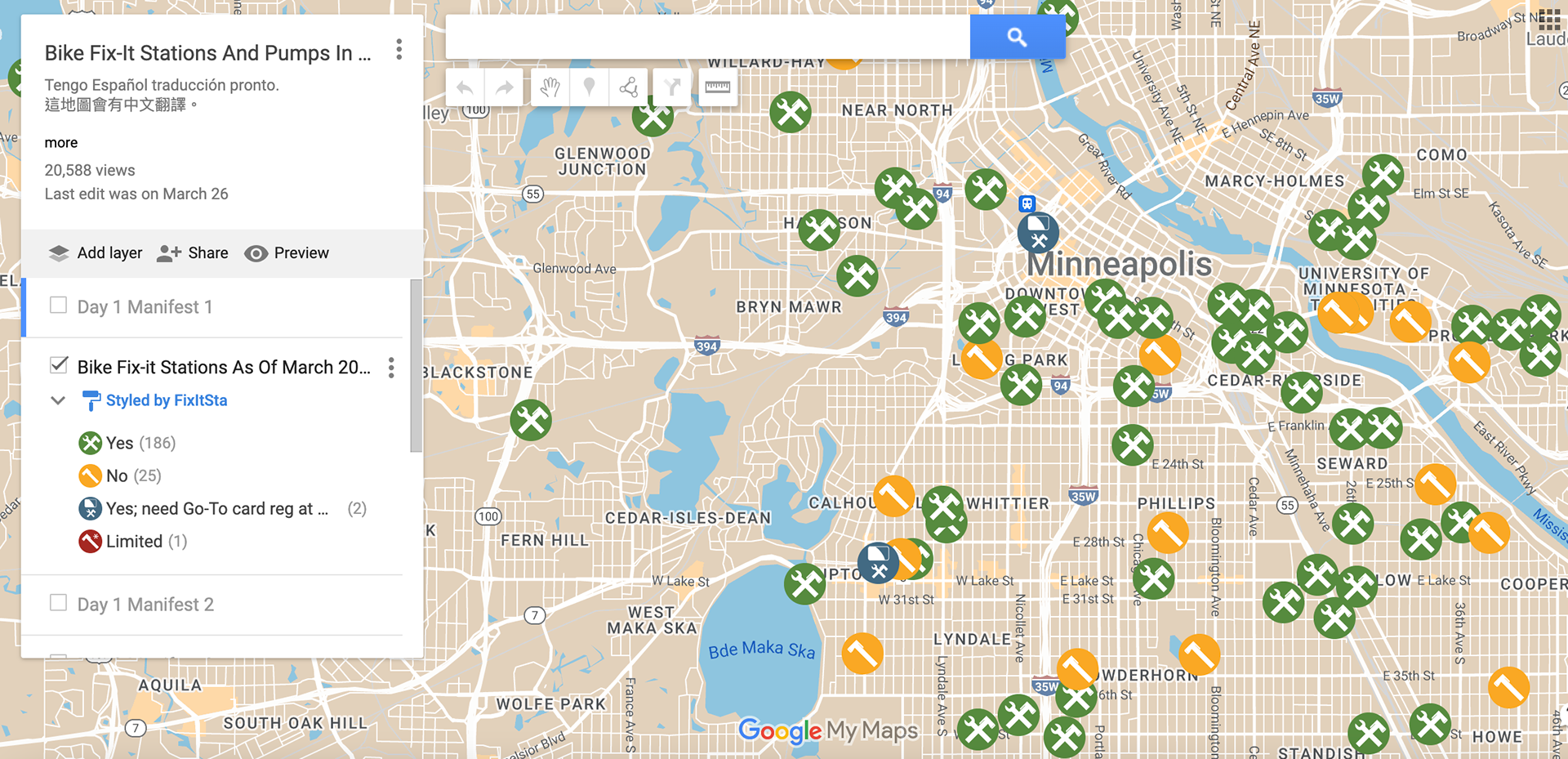
• Bike features
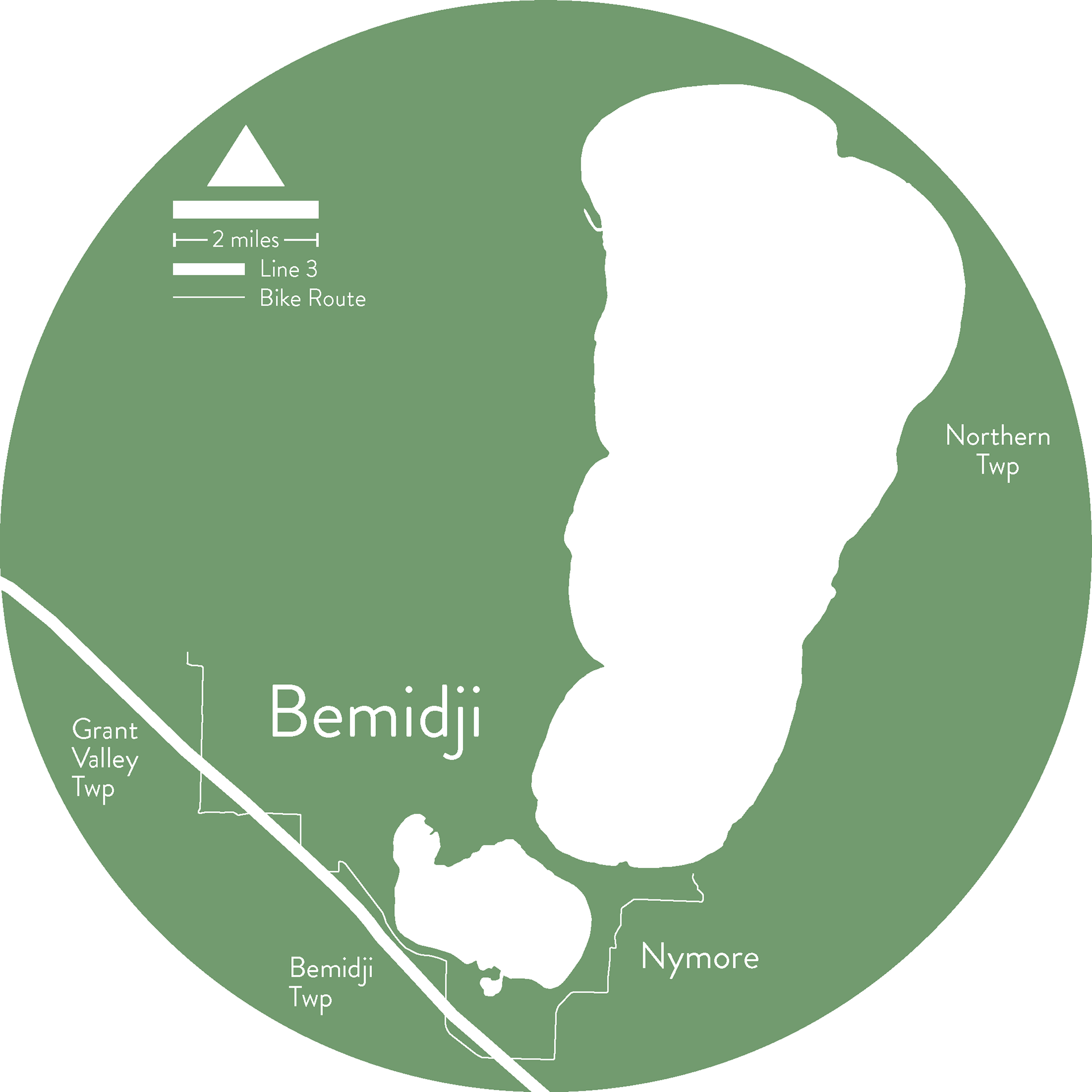
• Transit routes
• Parcel maps
• Maps for permit applications
If you are interested in using sophisticated software to produce maps highlighting your organization's impact, or would like for me to produce the maps for you, please reach out!